
Aviation Week and Space Technology
In Partnership With
Boeing


 11961197
 12181219
 12141215
 12021203
 12101211
 12061207
 12421243
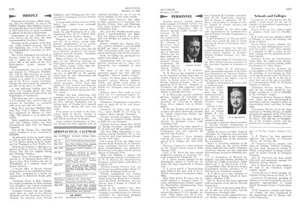
 124611
 12321233
 12441245

 December 281929


